Fresh western disturbance to hit on Republic Day, IMD warns of snow, rain, hail and strong winds
A new western disturbance is set to move across northwest India from 26 January, bringing a fresh wet spell to the Himalayas and renewed winter hazards to the plains. The IMD has warned of widespread rain and snowfall, squally winds and possible hail in parts of Jammu & Kashmir, Ladakh and Himachal Pradesh, with conditions expected to peak around 27 January before easing.
A sharp weather shift from 26 January
India is heading into a renewed spell of active winter weather beginning Monday, 26 January 2026, as a fresh and intense western disturbance transits over the northwest. The India Meteorological Department (IMD) says this system will trigger a mix of rain, snow, and biting cold across multiple regions, potentially affecting travel and outdoor Republic Day plans in vulnerable areas.
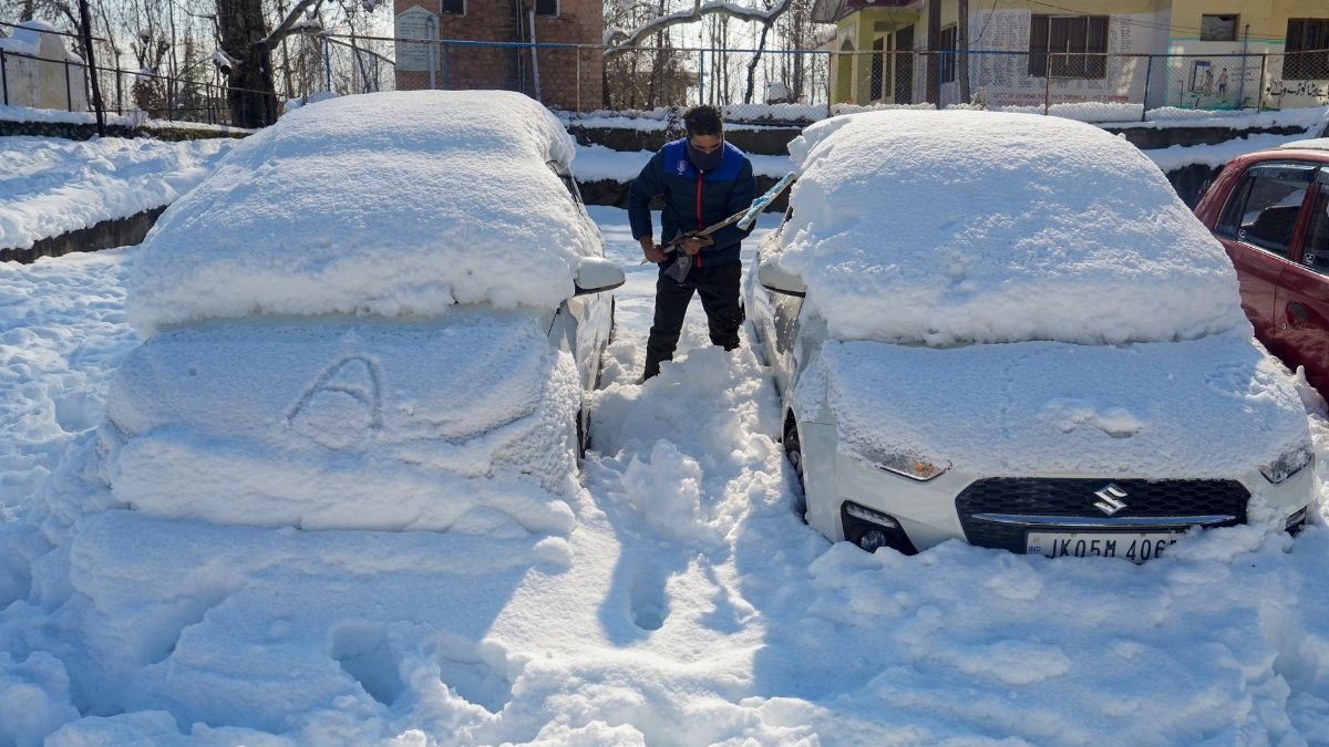
Snow and rain likely in the Western Himalayas
According to the forecast, the Western Himalayan region should prepare for fairly widespread to widespread precipitation. Jammu & Kashmir, Ladakh and Himachal Pradesh are expected to see rain and snowfall, with thunderstorms possible in pockets. The IMD has also flagged the risk of squally winds and isolated hail, which can worsen road conditions and reduce visibility in mountain passes.
Wind speeds are expected to reach roughly 40–60 kmph in some places, with gusts potentially touching about 70 kmph, depending on local terrain and storm intensity. Such winds can increase the chill factor and lead to short-lived disruptions to road, air and local power services in exposed locations.
Plains may see fog and lingering winter hazards
While the heaviest impact is projected for hill states, the disturbance can also influence conditions across adjoining plains. Many north Indian cities have already been dealing with winter fog, and weather systems like this often intensify night-time moisture and visibility issues. Travellers should watch for delayed flights and slow-moving traffic during early morning hours.
When will conditions peak?
The wet spell is expected to strengthen through Tuesday, 27 January 2026, when snowfall and storm activity could be at their most pronounced in the higher reaches. Conditions should gradually ease after Wednesday, 28 January, though scattered showers and unstable weather may persist in some pockets.
What you can do now
- If travelling to hill stations, check local advisories for road closures, avalanche alerts and snowfall updates.
- Keep buffer time for flights and long-distance road journeys, especially during morning fog hours.
- In wind-prone areas, secure loose objects and avoid exposed ridges during lightning and squall warnings.
- Follow official IMD bulletins for district-level alerts as conditions can change quickly.