IMD flags fresh spell of widespread rain, hail and heavy snow from 26 January
A new western disturbance is set to impact large parts of north and central India from 26 January, with the IMD warning of heavy snowfall in higher reaches, hailstorms, thunderstorms and gusty winds in several states. The agency also indicated dense fog and cold-wave conditions may persist in pockets, prompting travel and safety advisories.
Fresh western disturbance to drive multi-state weather risks
The India Meteorological Department (IMD) has issued a fresh round of weather alerts ahead of a new western disturbance expected to affect northern, north-western and parts of central India from 26 January 2026. The system is likely to bring a broad mix of winter hazards—heavy snowfall in higher-altitude areas, hailstorms in select plains, thunderstorms, gusty winds and a period of widespread rainfall that could disrupt travel plans and outdoor activities.
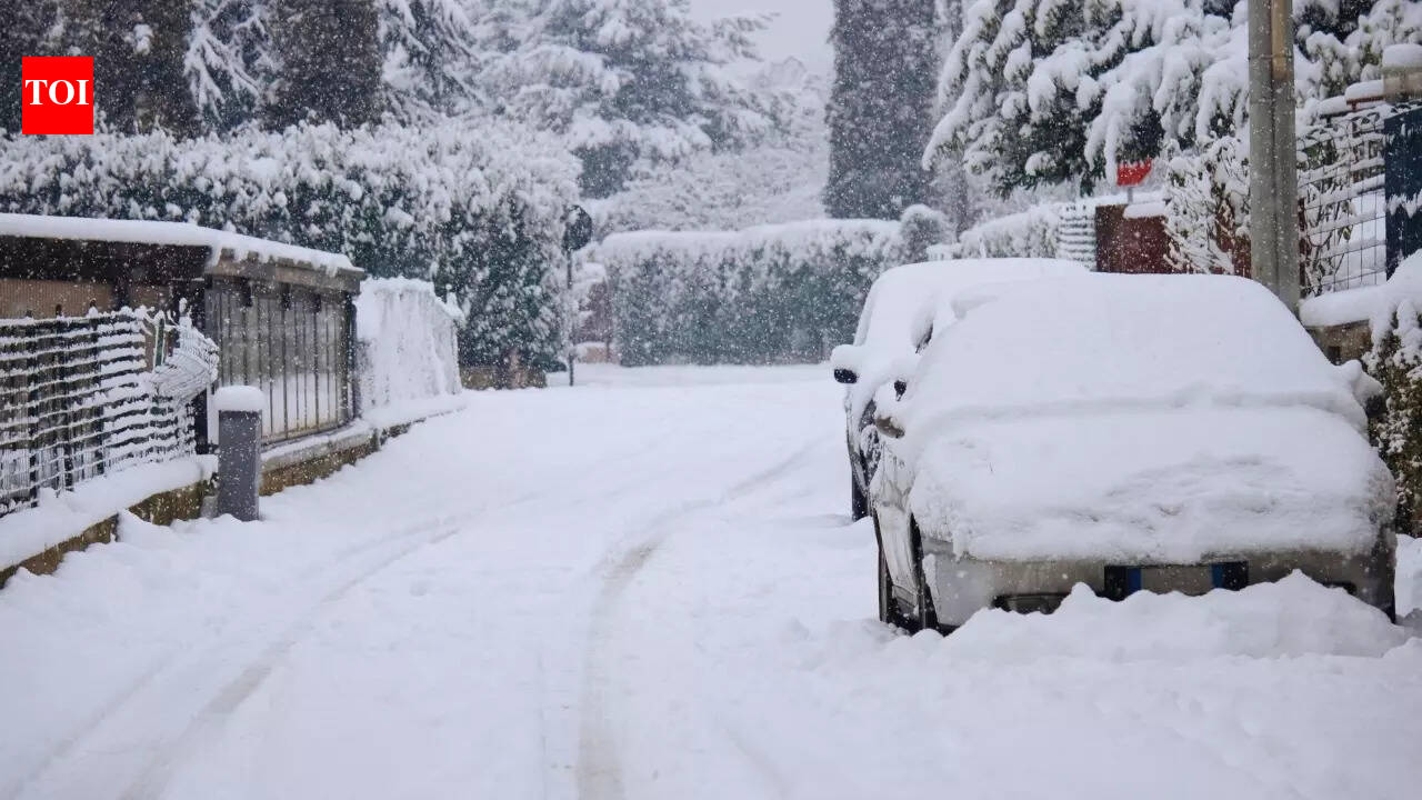
According to the forecast outlined by the IMD and reported by Indian media, the impact is expected to intensify through 27 January, when conditions could turn particularly volatile in several regions. Authorities and local administrations in hill states are typically advised to remain prepared for road closures, temporary power disruptions and reduced visibility due to snow and fog, especially on mountain highways and routes prone to landslides or avalanches.
Heaviest activity expected around 27 January
The forecast indicates that the most significant phase of the spell may be centred on 27 January, with heavier snowfall in the upper reaches and a higher likelihood of hail activity and strong surface winds in parts of the plains. While the system is expected to gradually weaken from 28 January, stormy conditions may persist in pockets, depending on local topography and moisture inflow.
In addition to precipitation, winter visibility risks remain a key concern. Dense fog and cold-wave conditions have been flagged to continue in some areas at least through 26 January. Fog can lead to delays and cancellations in rail and air services, slower highway movement and an increase in road accidents. Travellers are generally urged to monitor local advisories, keep buffers for transit time and avoid unnecessary night driving in fog-prone belts.
Practical implications for commuters, tourists and event planners
For commuters, the combination of rain, gusty winds and fog can make everyday travel unpredictable. For tourists heading to hill destinations, the expected snow spell can be scenic but also risky: sudden closures, tyre-chain requirements and long traffic queues are common during active western disturbance phases. Event planners and local administrations may also need to factor in weather interruptions for Republic Day week movement, including crowd management and contingency arrangements.
The IMD’s alerts act as an early signal for state disaster response mechanisms and civic agencies to coordinate readiness—such as clearing snow, monitoring vulnerable slopes, ensuring emergency medical response and keeping transport control rooms on standby. Residents in affected areas are typically advised to follow official updates, avoid exposure during thunderstorms and take extra precautions for vulnerable groups such as the elderly and those with respiratory conditions.