IMD flags fresh spell of winter disruption from Jan 26: snowfall, hail and widespread rain likely
India is set for another burst of active winter weather as a new western disturbance approaches. The IMD has warned of heavy snowfall in the hills, hailstorms and thunderstorms in parts of north and central India, along with dense fog that could hit transport schedules.
What’s changing from Monday (Jan 26)
The India Meteorological Department (IMD) has indicated that a new western disturbance from January 26, 2026 will trigger widespread unsettled weather across parts of north, northwest and central India.
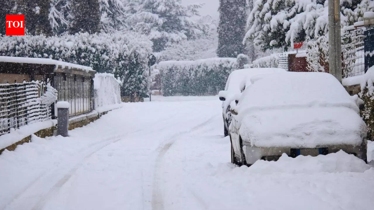
- Snowfall risk increases in the western Himalayan region, with heavier activity expected mid-spell.
- Hailstorms, thunderstorms and gusty winds are likely in several plains and adjoining regions.
- Dense fog and cold-wave conditions are expected to persist in pockets, potentially affecting road, rail and flight operations.
Peak impact window
The system is expected to intensify around January 27, 2026, before gradually weakening by January 28, 2026, though disruptive conditions may linger in some areas.
Travel advisories have been issued in view of likely visibility issues due to fog and weather-related disruptions in the hills.