IMD flags fresh western disturbance from 26 Jan; heavy snow, hail and storms likely
A new western disturbance is expected to trigger a widespread wet spell across north, northwest and parts of central India from 26 January, with peak impact forecast on 27–28 January. IMD alerts warn of heavy snowfall in the western Himalayas, hailstorms and gusty winds in adjoining plains, along with continued fog and cold-wave pockets through Republic Day.
What’s happening from 26 January
The India Meteorological Department (IMD) has forecast a fresh spell of unsettled weather beginning Monday, 26 January 2026, driven by an approaching western disturbance. The system is expected to affect large parts of the western Himalayan region and adjoining plains, extending its influence into portions of central India as well.
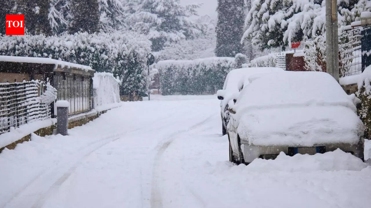
IMD’s bulletin indicates a mix of rain, snowfall, thunderstorms, hailstorms and gusty winds, alongside fluctuating temperatures. While the wet phase starts on Republic Day, conditions are projected to intensify quickly, creating the risk of travel disruption, reduced visibility and localised damage from hail and strong winds.
Peak impact forecast: 27–28 January
The heaviest activity is expected on Tuesday, 27 January, and to continue into Wednesday, 28 January. IMD expects heavy rainfall or snowfall at isolated places over Himachal Pradesh and the Jammu & Kashmir–Ladakh region. Thunderstorms with hail are also likely at isolated locations across parts of Himachal Pradesh, Jammu & Kashmir, Ladakh and Uttarakhand.
Adjoining plains are also expected to see thunderstorm activity, with gusty winds forecast over areas including west Uttar Pradesh, and a broader belt stretching across Haryana, Chandigarh, Delhi and Punjab. Some central and western regions such as Madhya Pradesh and Rajasthan may also experience thunderstorms at isolated places.
Fog, cold wave and travel advisory
Apart from the incoming wet spell, IMD notes that dense to very dense fog is likely to persist in pockets over Punjab, Haryana and Chandigarh on 25–26 January, with dense fog also possible over Himachal Pradesh and sub-Himalayan West Bengal and Sikkim. Cold-wave conditions are likely in isolated pockets across Himachal Pradesh, Punjab, Haryana-Chandigarh and Rajasthan on 25–26 January.
With fresh snowfall and hail possible in the hills, road connectivity in higher reaches may be affected, while thunderstorms and fog could disrupt flights, trains and highway traffic in parts of north India. Travellers are advised to plan with buffer time and monitor official local advisories before starting journeys during 26–28 January.