IMD flags fresh western disturbance; rain, snow and cold-wave conditions likely across north India
India’s weather agencies are warning of a renewed spell of winter disruption from 27 January, with rain and snowfall expected in the western Himalayas and cold-wave conditions persisting over parts of the plains. Advisories also flag fog, thunderstorms and strong winds in pockets, urging people to plan travel and outdoor work carefully.
A fresh round of winter weather is set to sweep across parts of north and northwest India from Tuesday, 27 January 2026, after the India Meteorological Department (IMD) forecast a new western disturbance that could trigger widespread rain and snow in the western Himalayan region. The outlook covers Jammu & Kashmir, Himachal Pradesh, Uttarakhand and adjoining hills, while also warning that the plains may see thunderstorms, lightning, gusty winds and dense fog in isolated areas.
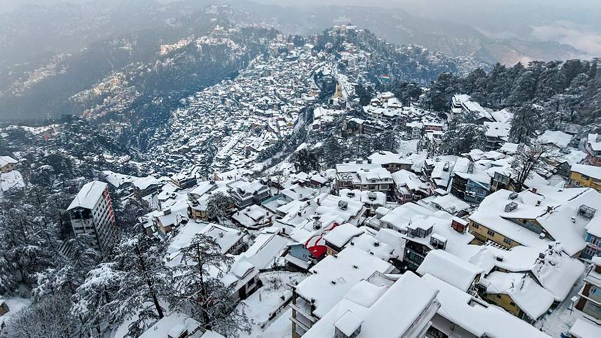
According to the IMD’s bulletin referenced by multiple reports, precipitation is expected to be scattered to fairly widespread over the hills, with pockets of heavy snowfall possible in some higher reaches. In parallel, cold-wave and cold-day conditions are likely to continue in parts of the northern plains, adding to the season’s hardships for commuters, students and outdoor workers, and increasing the risk of low visibility on highways and at airports.
The warning comes as several hill states are already seeing active conditions. Local reporting from Uttarakhand described fresh snowfall in high-altitude areas and alerts related to wind and avalanche risk in some districts, with authorities advising residents and tourists to avoid vulnerable slopes and to follow district-level instructions. Similar conditions were highlighted in Himachal Pradesh, where heavy snowfall and very low night temperatures have disrupted movement in some tourist circuits.
For the plains, the main hazards are fog and intermittent showers. Weather reports noted that cold-wave conditions have affected parts of Delhi and surrounding areas, with some stations recording minimum temperatures well below the seasonal average. The combination of fog, low temperatures and a chance of light rain can cause sudden drops in road visibility and slippery surfaces, especially early morning and late night.
The IMD outlook also flags the possibility of another bout of unsettled weather later in the week, with a further western disturbance expected to influence northwest India around 30 January. Residents are being urged to keep track of district-specific alerts, adjust travel plans where needed, and take precautions such as warm clothing, careful driving in fog, and avoiding high-risk mountain routes during heavy snow.