IMD warns of fresh western disturbance from Jan 27: rain/snow in Himalayas, storms in plains and cold-wave pockets
The India Meteorological Department said a fresh spell of active winter weather will affect large parts of north, northwest and central India from January 27, with rain and snow in the western Himalayas, thunderstorms and gusty winds over several plains, and cold-wave/cold-day conditions in pockets. Another system is expected around the night of January 30, which could extend unsettled conditions into month-end.
A fresh pulse of winter activity is set to spread across wide swathes of north, northwest and central India from Monday, January 27, according to the India Meteorological Department’s (IMD) All India Weather Summary and Forecast Bulletin issued late on January 26. The agency flagged a mix of precipitation in the western Himalayan belt, thunderstorms in parts of the plains, dense fog in pockets and the likelihood of cold-wave or cold-day conditions in some northern areas. It also cautioned that squally winds may affect adjoining seas, adding to overall weather-related disruption risks.
Rain and snowfall likely in the western Himalayas
IMD said fairly widespread to widespread rain and snowfall is very likely over Jammu and Kashmir, Ladakh, Himachal Pradesh and Uttarakhand on January 27, with activity continuing over Uttarakhand on January 28. The department also indicated the chance of isolated heavy rain or snowfall in these hill states on January 27, a combination that can make higher-reach travel tricky and may cause temporary closures or delays on mountain roads, along with intermittent impact on air and rail connectivity in sensitive stretches.
Thunderstorms and gusty winds in the plains
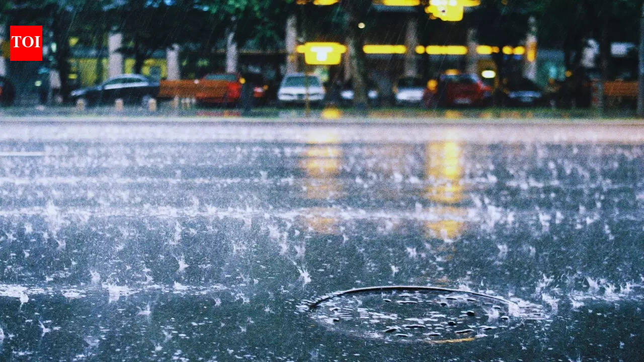
Beyond the hills, the western disturbance’s influence is expected to be felt in the plains. IMD forecast scattered to fairly widespread light to moderate rain, along with thunderstorms and gusty winds, over Punjab, Haryana and Chandigarh on January 27. Similar stormy conditions were indicated for West Uttar Pradesh and Rajasthan on January 27, and for East Uttar Pradesh on January 27 and 28. Isolated rain with lightning was also mentioned for parts of Madhya Pradesh on January 27 and 28, with isolated showers possible in Chhattisgarh on January 28.
Hail, fog and cold-wave alerts
IMD warned that isolated hailstorms are possible over Jammu and Kashmir, Himachal Pradesh, Uttarakhand, West Uttar Pradesh and Rajasthan on January 27. While localised, hail can damage standing crops, orchards and temporary structures. The bulletin also flagged dense fog in isolated pockets across multiple states on select dates through month-end, which can sharply reduce visibility and slow road, rail and air movement. Cold-wave conditions were indicated for isolated pockets of Haryana, Chandigarh, Delhi and Punjab, while cold-day conditions were highlighted for parts of Himachal Pradesh on January 27.
Another system expected from Jan 30 night
Looking ahead, IMD said another western disturbance is expected to approach northwest India from the night of January 30. That suggests cloudiness and precipitation may persist into the final days of January, with rapidly changing conditions in some regions. The department advised residents and authorities to track updated bulletins, plan travel carefully during fog and storms, and be alert to sudden weather deterioration, especially in higher reaches where snowfall can quickly affect roads.