IMD warns of fresh western disturbance: snow in western Himalayas, cold-wave risk in plains
India’s weather turns more active from 27 January as a western disturbance brings rain and snow to the western Himalayas, while parts of the plains brace for cold-wave conditions, dense fog and gusty winds, according to the IMD.
A fresh spell of winter weather begins 27 January
A new western disturbance is expected to trigger widespread rainfall and snowfall over the western Himalayan region from Tuesday, 27 January 2026, while parts of north, northwest and central India may see thunderstorms, lightning, gusty winds and patches of dense fog, the India Meteorological Department (IMD) said in its latest outlook.
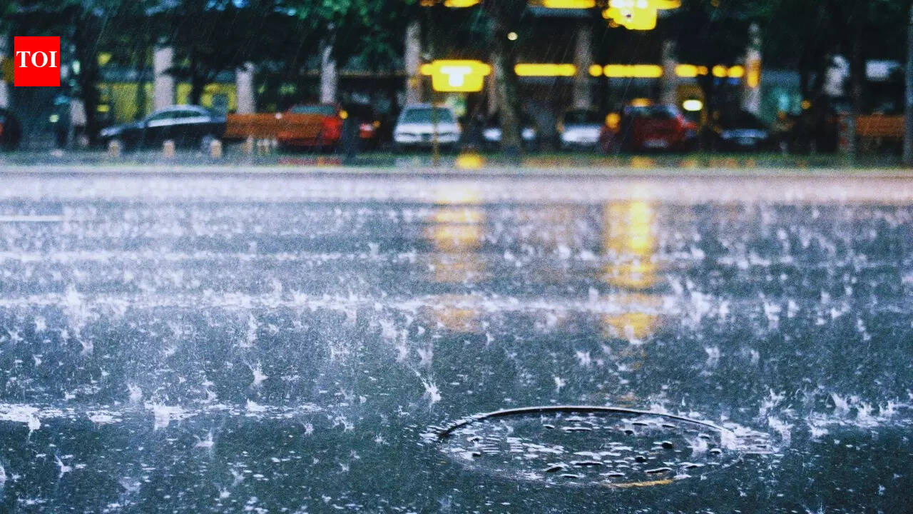
In the plains, the IMD has indicated the likelihood of cold-wave and cold-day conditions in isolated pockets, a combination that can disrupt commuting, intensify health risks for vulnerable groups and force changes to outdoor schedules. Residents have also been advised to watch for low-visibility conditions during the night and early morning hours.
Uttarakhand sees fresh snow; alerts issued for high-risk zones
In Uttarakhand, fresh snowfall has already been reported in higher reaches, including key Char Dham areas, with rain and colder conditions recorded in lower regions. The IMD issued an orange alert for heavy precipitation, and an avalanche warning was also issued for select districts, prompting disaster authorities to advise residents and tourists to avoid snow-covered and avalanche-prone slopes.
Authorities said the active weather pattern could continue for a couple of days, with another system also expected later in the month. For travellers, the immediate impact is likely to be on hill routes, pilgrimage corridors, and roads prone to landslides and snow accumulation.
What to watch over the next 48–72 hours
- Rain/snow over western Himalayan states and adjoining hill districts.
- Dense fog in parts of the north Indian plains, especially at night and early morning.
- Cold-wave/cold-day conditions in isolated pockets, increasing health and safety risks.
- Potential transport disruptions due to low visibility and slippery roads in higher elevations.
Officials and residents have been urged to track local alerts, avoid unnecessary high-altitude travel during heavy snow windows, and use extra caution while driving in fog-prone stretches.